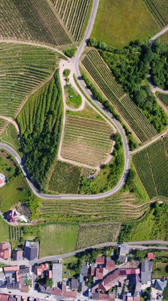
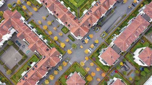
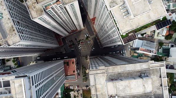
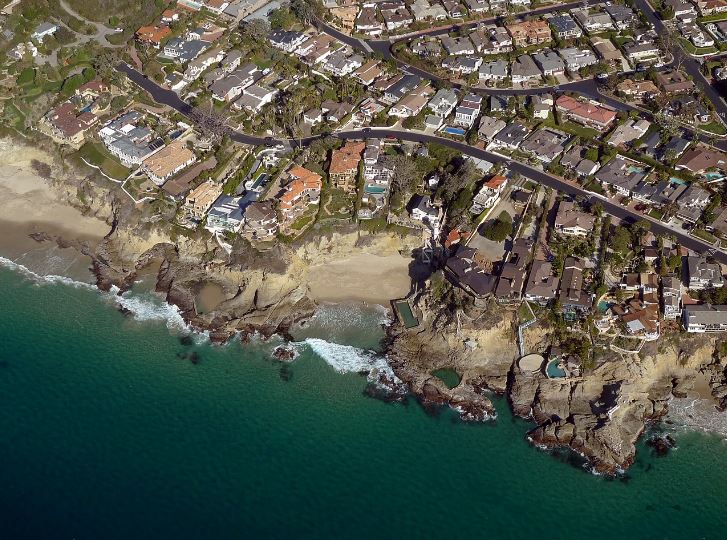
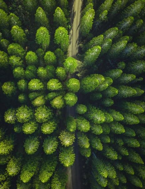
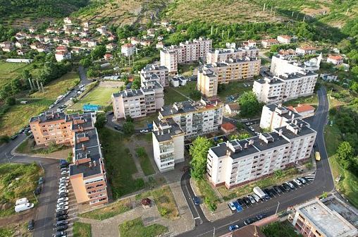
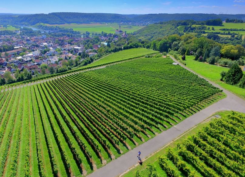
An orthophoto or orthoimage is a satellite image or aerial photograph that is geometrically corrected. It means that its scale is uniform and follows a certain map projection. The difference is that an uncorrected aerial photograph cannot be used to measure the true distances. Hence, an orthophoto represents the correct distance of the Earth’s surface. The orthophoto is adjusted for camera tilt, lens distortion, and topographic relief.
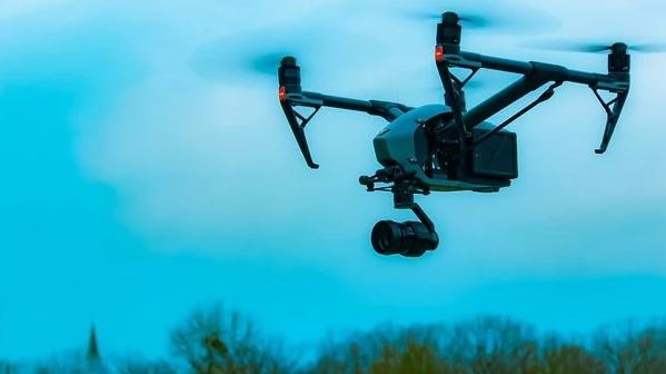
Drones have become an amazing tool to create orthomosaic maps. It is because the industries are realizing the growing popularity of drones in 3D orthomosaic maps. It helps them to create internal terms and customers. Despite the emerging visibility, people are still now getting to know what goes into an orthomosaic map and how it is generated.
What Is An Orthomosaic Map?
Orthomosaic maps provide a photorealistic representation of an area that can produce surveyor-level measurements of buildings, infrastructure, topography, etc. A dozen of orthoimages or orthophotos make up an orthomosaic map. An orthoimage is an extremely detailed aerial photograph. It is fixed in the geographic position to create uniformity and continuity when sequenced using the mapping software.
A dataset consisting of many orthoimages is collected along with detailed documentation about the geographic location. Also, external factors affecting the orthomosaic map are collected within the data. To produce a uniform scale, orthoimages are normalized for the various factors such as:
- Camera Tilt
- Lens Distortion
- Altitude
- Environmental Conditions (Humidity)
Once all the factors are corrected, the images are stitched together with advanced mapping software to produce both 2D or 3D image modeling with a drone.
How Are Orthomosaic Maps Unique?
More than a technological atlas, state-of-the-art orthomosaic maps are used to document the changes in the local landscape or vegetation over time. They can be useful for various cases such as emergency response, environmental monitoring, and much more. As mentioned earlier, orthomosaic maps are detailed enough to measure the height, distance, and depth over manmade structures and landmasses. It allows the users to instantly get accurate ground information and conditions across the globe.
Orthomosaic maps are an emerging technology particularly valuable for industries that maintain, monitor, and secure the infrastructure in remote, rural, and isolated locations such as oil/gas, utilities, telecommunications, and more.
How To Get Orthoimages
Traditionally, aerial photography has been performed using distant satellites or manned planes, each having shortcomings. For example, helicopters or airplanes are very sensitive to human error and environmental conditions, whereas, technology is prohibitive for most businesses.
UAV technology allows the users to carefully plot flight plans and capture high-resolution images with minimal distortion. The extraordinary mobility with autonomous drones and ease of use make the collection of high-quality data that is accessible, simple, and secure. Also, drones have lowered the cost of entry bar leading to an explosion in research with innovative and new uses in different cases.
The Importance Of A Flight Plan
Orthomosaic maps are produced with detailed flight planning and data organization. When it comes to developing a flight path for a project, there are three key factors to be prioritized:
High-Resolution Images
Images collected should be sharp, properly, and timely normalized. The poor-quality images can cause distortions, vignetting, and blurry images.
Appropriate Overlay
A medium orthomosaic map requires around 70% overlap. On the other hand, some projects might be needing more than 70% overlay. The overlay ensures that there are no inaccuracies or gaps in the data.
Relevant Images
Nonessential views can introduce distortion and ambiguity to the map. Data sets should not include take-off and landing images. Also, there should not be off-angle shots during the turns in the data.
| Altitude | Resolution |
| 150ft | 0.5in/px resolution |
| 200ft | 0.7in/px resolution |
| 250ft | 0.9in/px resolution |
| 300ft | 1.1in/px resolution |
| 350ft | 1.3in/px resolution |
| 390ft | 1.4in/px resolution |
With advanced hovering and mobility, creating a strict and managed flight plan with a UAV drone makes it easier than ever to maintain high-quality images with consistency. Also, maintaining a proper alignment is easier just like the drone light shows.
Converting Orthoimages into Orthomosaic Maps
Converting a digital image catalog to a fully dynamic 3D experience requires advanced digital processing. The tools you select will affect the quality of the map you are trying to create. As a result, not all photogrammetry software is ready for the challenge. A photogrammetry processing software should be having the following important aspects:
User Friendliness
Creating 3D maps is not a difficult task. For this purpose, you should find an easy-to-use software solution that creates, shares, stores, and uses maps.
Stability
Nothing is as frustrating as when the software crashes and you lose your work. Any photogrammetry software should guarantee error prevention and availability or uptime.
Accuracy
Software should not introduce external distortions into the datasets with poor data management practices and GIS accuracy. Precision tools like scale constraints and ground control points (GCPs) help the user to have a high-quality end product.
Upload Limits
The size of the mapping project should only be limited by imagination. You should be looking for cloud-based photogrammetry software to meet the demands of the projects.
Speed
Data processing in the photogrammetry software should be fast enough that it does not get bogged down while handling large datasets. Make sure that you have reviewed the technical specifications of the hardware. For example, local hardware and servers or the cloud providers of the data center of the software are also examined properly.
Options for Exporting and Sharing Orthomosaic Map
| Type | Export Formats |
| Orthomosaic | GeoTiff
JPG |
| Elevation | GeoTiff
JPG Raw Elevation Values (DEM) Contour DXF (AutoCAD) Contour SHP (Shapefile) |
| Plant Health | GeoTiff
JPG Shapefile |
| Digital Terrain Model (DTM) | GeoTiff
JPG Raw Elevation Values (DEM) Contour DXF (AutoCAD) Contour SHP (Shapefile) |
| Cut/Fill (DSM) | GeoTiff
JPG Raw Elevation Values (DEM) Contour DXF (AutoCAD) Contour SHP (Shapefile) |
| Cut/Fill (DTM) | GeoTiff
JPG Raw Elevation Values (DEM) Contour DXF (AutoCAD) Contour SHP (Shapefile) |
| Point Cloud | LIDAR Data Exchange (.las)
ASCII xyzrgb (.xyz) Autodesk (.rcp) |
Uses of Orthomosaic Maps
Surveying is not the only industry that can benefit from orthomosaic maps or images. Several things you can do with a drone for some common areas are getting orthomosaic maps.
Environmental Conservation
Ecologists can use orthomosaic maps to detect the endangered animals on a defined terrestrial parameter. Also, they can use them to capture the changes over time.
Real Estate
Orthomosaic property maps obtained from drones for real estate and construction can be turned into interactive virtual tours for the customers or clients. This feature enables the clients to have a virtual tour when there are limitations on visiting the property.
Law Enforcement
The firefighters and police can use orthomosaic mapping using a drone to map the high traffic areas and crime scenes. The highest level of detail captured by an orthomosaic map can highlight the important details to any case that would otherwise be missed.
Agriculture
Usage of orthomosaic images with agricultural ag drones can allow the farmers to detect the growth patterns of the crops over time. Also, it is important in monitoring the health of the crops.
Orthomosaic Maps – Use Of Drone In Surveying
Orthomosaic maps are more complicated than aerial drone photography. In this case, the user of the drone has to make sure that the photographs are scaled properly with each other and there is no distortion. Orthomosaic maps are one of the ways to make high-quality and detailed maps of any site such as buildings, construction, agriculture, infrastructure, topography, etc. Hence, surveying with a drone offers potential for GIS professionals.
With a drone, topographic surveys of the same quality as the high-precision measurements collected by the traditional methods are possible. It is possible over a fraction of the time. Orthomosaic maps are the means of reducing the cost of site inspection and the workload of specialists in the field. On the other hand, photogrammetry is the science of getting reliable measurements from digital imagery and photographs.
