How can drones be used for aerial surveying?
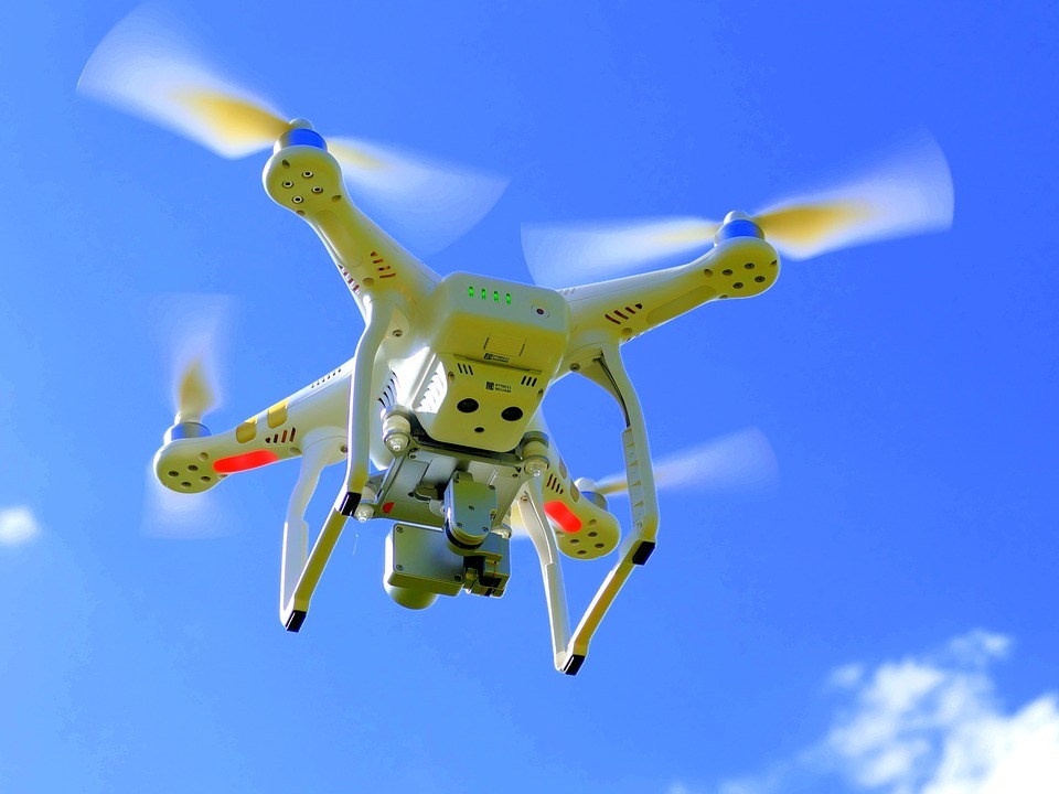
Drones are effective tools for the surveying and mapping industries. By flying above the ground, they can efficiently carry out tasks for topographic surveying, photogrammetry, 3D mapping, and land surveys. Here is all the information you need to know about drone surveying, whether you're looking to add a new tool to your repertoire of offerings or just want to know more about drones in general. Drones are equipped with various sensors, such as cameras, LiDAR, and photogrammetry tools, which can capture high-resolution images and detailed terrain information for a wide range of surveying and mapping tasks.
If you are interested in learning more about how drones are used for surveying, read on.
What is a drone survey?
Generally speaking, surveying is the art and science of figuring out the separations and locations between two points, whether they are in a 2D or 3D space. The planning of construction sites, the delineation of property lines, and other crucial decisions are all aided by the use of this data. These fundamental guidelines are used when conducting a drone survey, but a drone is utilized to collect the data. All of that information will be recorded for you as the drone flies over the points.
Drone surveying is a modern alternative to traditional surveying techniques, allowing for quicker and more accurate data collection over large areas in a fraction of the time it would take with traditional methods. Through the use of specialized cameras and software, a drone is able to collect the information needed for the planning of construction sites, the delineation of property lines, and other important decisions without having to set foot on the ground.
How do drones collect data?
Drones gather data from Geographic Information Systems (GSI). They created maps and visualizations of the locations using this information. Although the GIS is the main tool for data collection, the drone can also be outfitted with other tools. Drones were previously used to capture data but not transmit it. The operator had to get all of that data. Drones can now interrupt data in real time thanks to modern technology. While the drone is still in the air, you can use GIS technology to transform all of that raw data into useful information. In this way, drones can now provide an unprecedented level of information and insights into the environment and areas they are mapping.
How accurate is a drone survey?
If the accuracy of a drone survey is something you're worried about, rest assured that these gadgets are incredibly accurate. Frequently, you can expect drone surveys to be within two centimeters of the actual location. Even more precisely than these measurements, most drones Such outcomes are what you can anticipate if you work with a qualified drone surveying business. Always keep in mind that better equipment is available to them, and better equipment always produces more accurate results. The type of drone, the camera's quality, the flight height, and the amount of ground cover can also affect the survey results.
How do drone surveys operate?
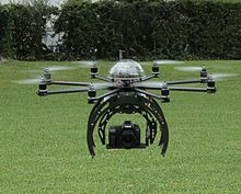
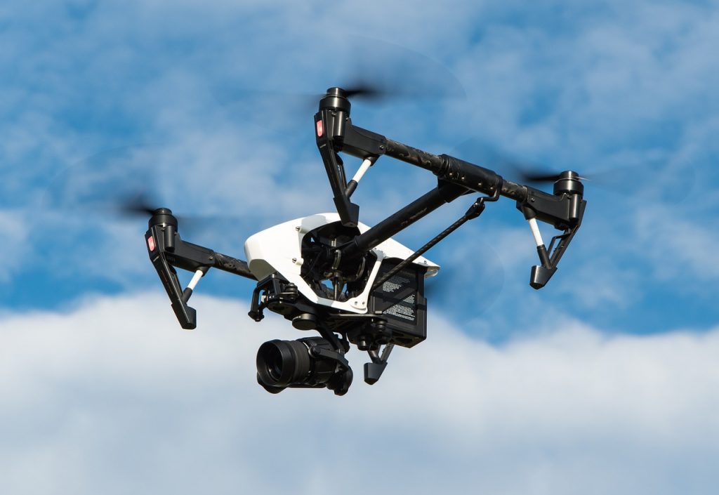
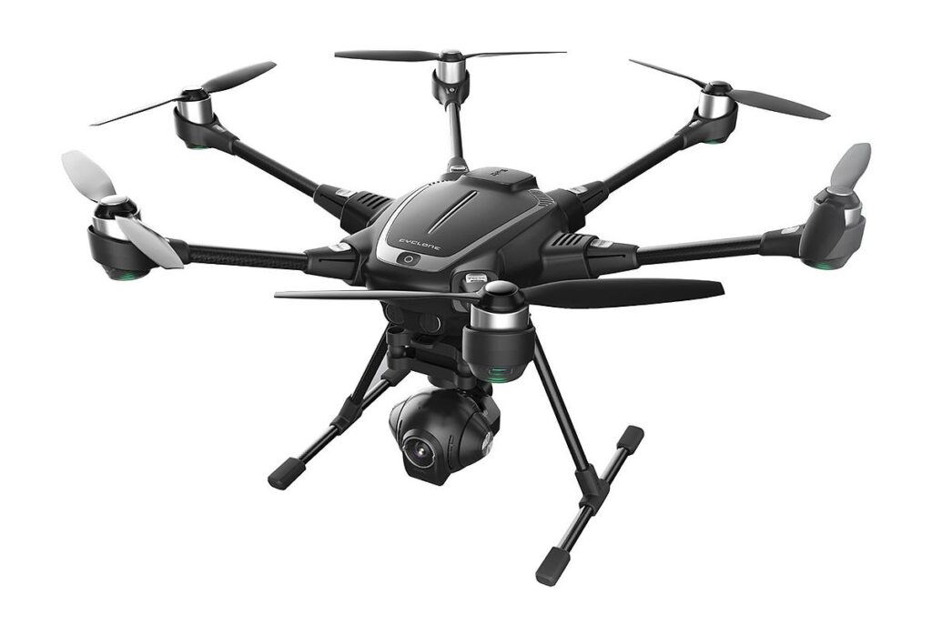
The drone uses multispectral and RGB cameras and downward-facing sensors to take pictures as it flies above the ground. Additionally, many drones have LiDAR payloads to aid in data collection. The RGB camera on the drone will be used to take pictures of the ground from various perspectives as it surveys the area. The precise coordinates are assigned to each angle. The input to photogrammetry is aerial photography, and the output is typically a map, a rendering, a measurement, or a 3D model of some real-world object or scene. Photogrammetry is frequently used in fields like topographic mapping, architecture, engineering, manufacturing, quality control, and police investigation, to name a few. Data collection on the topic must come first in order to create a digital representation of reality. Typically, a drone or small unmanned aerial vehicle (sUAV) is used for this, flying over the subject property according to a predetermined grid-like flight plan and taking hundreds of nadir (straight down) or oblique (30–45 degree) photos.
Advantages of Using Drones for Aerial Survey
1. Boost speed and cut costs
Most people place a high priority on their ability to utilize a budget effectively. You probably already have the budget, which is one of the benefits of drone technology. Drone mapping can seamlessly fit into your existing budgetary allotments, increase your company's budget, and free up more time for other tasks. A 100-acre site that is dangerous may take a traditional ground survey team a month to map, but a mapping drone can do it in less than 30 minutes. Drone mapping's accelerated speed and automation enable businesses to safely accept and finish more jobs for more clients, on more sites, in less time.
2. Accessibility and security
The use of drone mapping technology enables autonomous flight and eliminates several hazards associated with land surveying, such as the need for large machinery and potentially dangerous injuries. With the push of a button, a drone can survey a location autonomously, gather an accurate aerial map of the area, return to the launch site, and upload its model and data to a secure cloud in a matter of minutes. Additionally, no one is at risk for a serious injury during this entire process. An excellent illustration of this was the use of drone-based photogrammetry to monitor coastal cliff erosion in Brittany in order to avoid potential loss of life and property.
3. Precision and accuracy
In order to generate thousands of precise data points, including georeferences, elevation points, and colors, drones use a variety of sensors positioned at various angles. These information points can then be incorporated into a 3D point cloud to provide the surveyor or client with a distinct viewpoint and understanding of the project.
4. Single Tool
Land surveyors can now use drones that autonomously fly themselves with the touch of a button in place of theodolites, infrared reflectors, and GPS. Without all of the heavy lifting and exhaustion, these drones can produce results that are comparable to those of the aforementioned tools. The surveyors would then be able to save money or rearrange their budget while also being safer and spending less time at each site visit.