What Is An Orthomosaic Map And How Does It Relate To Drone Flying Systems

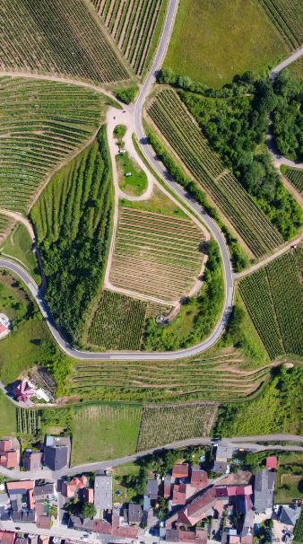
An orthophoto or orthoimage is a satellite image or aerial photograph that is geometrically corrected. It means that its scale is uniform and follows a certain map projection. The difference is that an uncorrected aerial photograph cannot be used to measure the true distances. Hence, an orthophoto represents the correct distance of … Read more