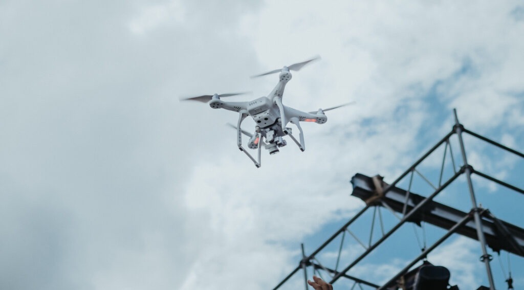
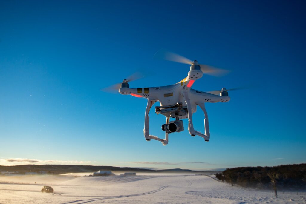
How can drones be used for aerial surveying?

Drones are effective tools for the surveying and mapping industries. By flying above the ground, they can efficiently carry out tasks for topographic surveying, photogrammetry, 3D mapping, and land surveys. Here is all the information you need to know about drone surveying, whether you’re looking to add a new tool to your … Read more