The Global Positioning System (GPS) offers high-tech possibilities for boaters. It is a global navigation satellite system (GNSS) that provides geolocation and time information to a GPS receiver anywhere there are signals from GPS satellites. Without GPS, mariners cannot navigate, measure speed, and determine the location in the most accurate method. It enables increased levels of safety and efficiency for mariners worldwide.
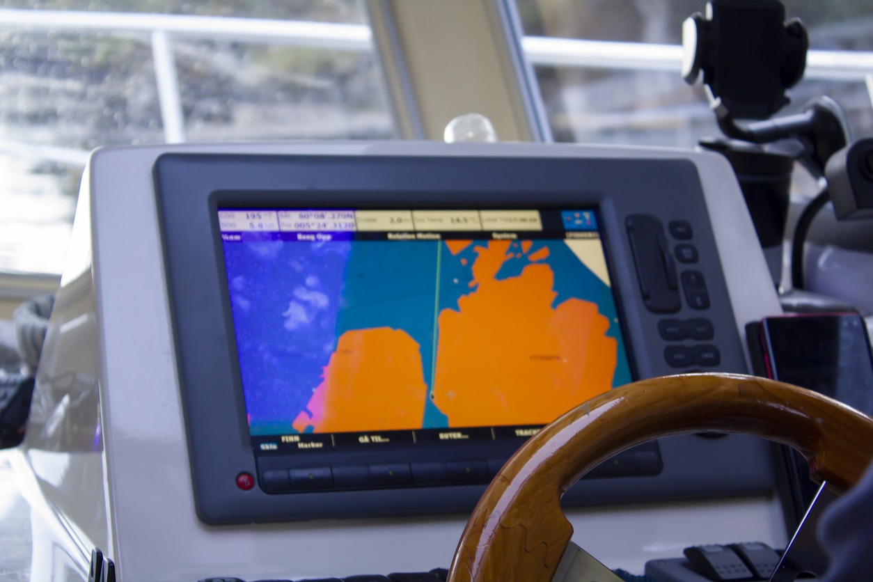
Marine GPS units would come in handy when an unexpected situation happens. Through a marine GPS, the accurate position, speed, and heading to ensure the vessel reaches its destination in the safest, most economical, and timely fashion that conditions will permit.
To get the most out of GPS, here are the benefits of having marine GPS and assess how it can help you meet your plans and goals.
Provides Real-Time Location with Accuracy
A marine GPS allows access to fast and accurate position, course, and speed information, saving navigators time and fuel through more efficient traffic routing. Also, with the GPS tracker, you can get the exact location of your vessel using your phone, tablet, or computer.
In addition, you can also get a notification of unauthorized access on your boat if someone wants to access it. Therefore, a GPS is an additional security system for your boat, apart from providing you with many helpful features. It provides safety for your boat and security while you go on the water or store your boat at the port or in a winterization facility.
Increases Precision and Efficiency
GPS improves the precision and efficiency of buoy positioning, sweeping, and dredging operations. It provides precise navigation to boaters. It is much helpful to commercial fishing fleets to navigate to optimum fishing locations, track fish migrations, and ensure compliance with regulations. It has increased the safety and efficiency of the mariners.
Provides Useful Information
A GPS is programmed to receive information about where each satellite is at any given moment. It helps you to determine the current speed of your vessel with the journey logs that show the places you went and the time of stay at each location. GPS receivers can use time measurements to calculate the distance from each satellite because radio waves travel at a constant speed. This feature helps find and note the best spots for fishing or other water activities.
GPS also provides essential information for surveying and mapping various activities. Vessels used for surveying with GPS positions help the mariners get the depths and dangers of the underwater.
Navigates Hazardous Locations
A navigational hazard is something you might hit on the water.
Buoys, jetties, other vessels, bridges, big rocks, granite ledges, and sandy beaches are all possible hazards that are visible. Though some of these are to notify a skipper of a hazard ahead, if the speed is fast enough and the lookout is not good enough, this aid can suddenly become a hazard. With GPS that accurately shows the exact locations of underway objects, one can evade these possible hazards.
Maps Fishing Locations
Nowadays, GPS is a necessity for fisheries. One of the threats to sea life is maritime poaching. GPS tracking systems are installed on commercial boats to ensure that restricted areas are safe from them.
Also, the marine global positioning system unit helps you to determine the accurate location and move to the correct destination. This feature of locating the exact coordinates aids the fishermen to know the precise fishing grounds. GPS navigation helps the fishermen use it to their advantage to use its data for their fishing locations.
Tracks Fish Behavior and Location
The use of GPS stored in fish to monitor their movements as it shows the exact location and time is essential information for marine researchers. GPS fish finder units have inbuilt features such as maps of coastlines, rivers, lakes, and the resolution of nautical miles.
Some of the GPS fish finders show fish behavior, for instance, when hiding in rocks and weeds. It can also display fish the different colors of the fish as they mimic their environment. Further, you can track see objects below water bodies.
Prevents Accidents
The use of GPS increases the safety and security of vessels. It prevents collisions and other accidents that can cause ship damage and injuries to boaters. Also, the GPS data helps in detecting directional changes in water. It will help to change direction in case of an emergency. GPS is also helpful in case the boat gets damaged in the sea. You can communicate to get help. Without GPS, you might end up wandering in the ocean and waiting for some help to come.
Monitors Surface Water Pollutants
GPS does not only give geolocation and time but can also monitor surface water objects, including inorganic pollutants, organic pollutants, heavy metals, and physical indicators. The increasing concerns about pollution levels in the oceans and coastal regions have led to multiple approaches for measuring and mitigating marine pollution to achieve sustainable marine water quality.
Controls Traffic Seaways
GPS technology enables port management like the International Maritime Organization and other management bodies to monitor the position of ships and containers. Hence, increasing security and controlling vessel traffic.
GPS information is within a system known as the Automatic Identification System (AIS) transmission. The AIS transmits a ship’s position, including many commercial fishing vessels, to broadcast their position AIS to avoid collisions. The real-time location and other information are also helpful for vessel traffic control around busy seaways. This service is not only essential for navigation used for the security of ports and waterways. These are also for governments to be aware of the situation of commercial vessels and their cargo.
Minimizes Operational Costs
The GPS raises productivity, reduces costs, and saves time because it makes the work easy as it would have been done in weeks and can be done in a day. For instance, with GPS and other sensors, a single remote operator can monitor the live data feeds of boats in real-time. It reduces the costs of offshore patrol and security boats in monitoring high-value sites.
In conclusion, GPS is everywhere. It not only provides peace of mind but also allows you to have a better schedule when planning to have your water adventure. Nevertheless, GPS has made an impact on our society. It has made our environment a safer place to live. It even changed the way people communicate, live, and manage life. Whether at sea or on land.

