Regularly, there are catastrophic events. Natural catastrophes such as tornadoes, hurricanes, earthquakes, and wildfires strike various regions of the United States every year. It is interesting to note that certain regions of the United States are more likely to be impacted by natural disasters, whereas other regions are significantly less likely to be impacted by natural disasters.
There are several primary categories of zones, including those for blizzards, floods, hurricanes, major earthquakes, moderate earthquakes, tornadoes, wildfires, and moderate earthquakes. Sometimes these can be somewhat predicted, especially the ones that are related to the weather, but other times they can come as a complete surprise. Residents of regions that have a higher risk of experiencing certain types of natural disasters should always make it a priority to maintain a state of readiness.
1. Blizzard Zones
A snowstorm that is accompanied by extremely high winds and very poor visibility is known as a blizzard. Typically, it causes a significant amount of snow to fall in a region in a relatively short amount of time after it has been dumped on. The large amounts of snow can make it impossible for people to leave their homes to get necessities, and if the snow accumulates to the point where it is too heavy, it can even cause the roof of a building to cave in on itself. Those who choose to remain outside during a blizzard significantly increase their risk of becoming disoriented and hopelessly lost.
Blizzards are most common in the upper Midwest and Great Plains of the United States, but they can occur in almost any part of the country, except the Gulf Coast and the coasts of California and California. Even in the tropics, where temperatures are typically mild, it is possible for there to be freezing conditions on the summits of particularly high mountains.
Blizzard zones typically extend across the northern border of the United States, but they are most prevalent in regions that are located near bodies of water. This encompasses the entirety of New England and can be traced to the Great Lakes. Blizzards are most likely to occur in regions that are in the Great Plains. North Dakota, South Dakota, and Minnesota are the three states that have the highest probability of being hit by a blizzard. Nevertheless, New York, Pennsylvania, Michigan, and Wisconsin are also States that see their fair share of blizzards.
2. Tropical Storm Zones
A hurricane is a type of severe storm that frequently develops over water and possesses extremely high wind speeds, which have the potential to destroy due to wind, rain, and lightning. It is not unusual for hurricanes to leave their victims with shattered windows, damaged roofs of homes and businesses, and other forms of property damage caused by water that is forced through any opening by the oncoming storm.
Hurricanes are most likely to form between the latitudes of 8 degrees and 20 degrees north, which is also referred to as Hurricane Alley. This is the region of warm water that can be found in the Atlantic Ocean and stretches from the west coast of northern Africa to the east coast of Central America and then down to the Gulf Coast of the southern United States.
Although hurricanes are most common in coastal areas and the Hawaiian Islands, regions that are only a short distance inland from those areas can also be affected by hurricanes and sustain damage. The areas that are struck the most frequently are Florida, Louisiana, and the lower parts of Texas; however, the upper Atlantic coast also faces a higher risk than other parts of the country.–
3. Flood Zones
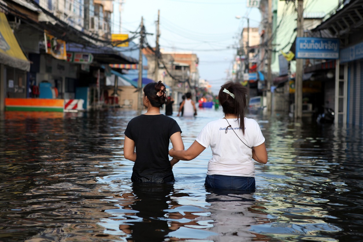
When water exceeds its normal boundaries and covers or submerges an area, this is referred to as a flood. The breaking of a dam or other boundary that normally holds back an amount of water, and waves caused by tsunamis, hurricanes, or similar situations, are all potential causes of this phenomenon. Other potential causes include excessive rainfall or storms. Logic would suggest that most flood-prone areas are located near water, but the water in question need not be a body of water as large as an ocean or a lake.
When it rains for an extended period and there are low-lying areas, those areas run the risk of being flooded. The Midwest, which includes the states of Iowa, Illinois, and Missouri, is a region that is at high risk for flooding, and the regions that are located near the Mississippi and Missouri rivers tend to experience flooding consistently. Due to their proximity to the water and the frequent storms that originate in that general direction, coastal areas are at an increased risk of being flooded.
4. Zones of Major Earthquakes
An earthquake is a “sudden and violent shaking of the ground” that can cause large amounts of destruction and is the result of movements of the earth’s crust, plates, and fault lines, as well as the activity of volcanoes. Earthquakes can also be caused by volcanic activity. Because of the high concentration of tectonic plates and faults in California, the state has the highest risk of earthquakes among all the states in the United States. However, this region is not the only one at risk for severe earthquake damage; the entire west coast and western Nevada are also at high risk.
5. Tornado Zones
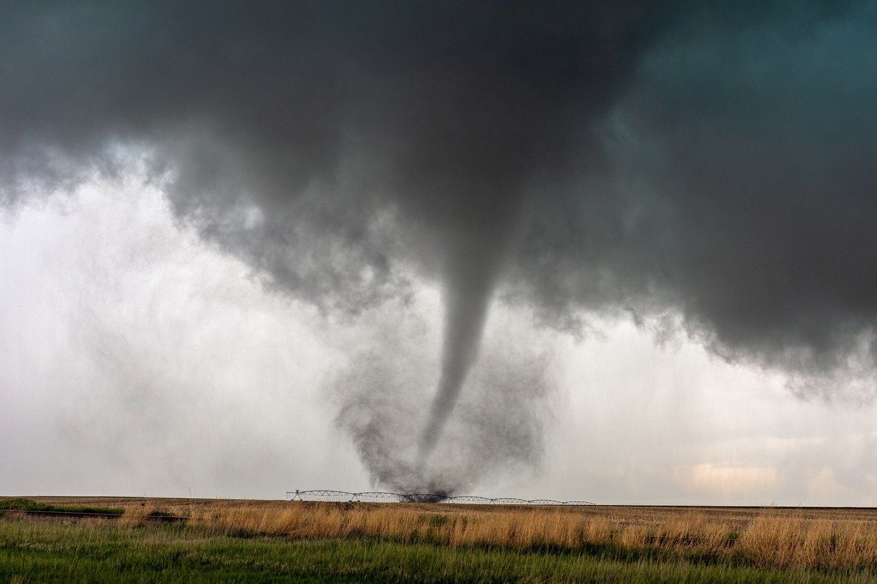
A funnel-shaped vortex is what we refer to when we talk about a tornado. This type of vortex is also known as a twister. The winds there are unpredictable and violent. In most cases, it is associated with a storm system, but there are some notable exceptions to this rule. Tornadoes are known to pose a threat across a significant portion of the middle of the United States.
It is commonly referred to as “Tornado Alley,” and it encompasses the states that stretch from Texas up to South Dakota, across to western Pennsylvania, down to South Carolina, and back up to Texas again across the lower United States. Most of the state of Oklahoma and the southwestern corner of Iowa are the parts of that region that have a higher risk of being affected.
6. Wildfire Zones
Large fires that spread rapidly and typically result in the loss of a significant amount of forestland are referred to as wildfires. These can be started accidentally when people drop ignited substances into underbrush or neglect to put out a campfire completely. They can also be started by natural occurrences like lightning.
California is indeed the state with the highest number of wildfires per year in the United States, but this does not mean that California is the only state with a high-risk area for wildfires. The state of Florida, the state of Oregon, the state of Washington, Idaho, western Montana, Nevada, northwestern Wyoming, Utah, Colorado, Arizona, New Mexico, and a few areas in the state of Texas are also included.
Even though they are much smaller, some areas across the country still have the potential to be engulfed by wildfires. These areas are dispersed all over the country and can be found in both urban and rural settings. Places like Wisconsin, Louisiana, and New Jersey are included in this category.
Wildfires in the West, hurricanes on the East Coast and Gulf of Mexico, and twisters in Tornado Alley are just some examples of the myriad ways in which natural disasters can manifest and have varying effects across the United States. Some states are more prone to natural disasters than others.


